Google Earth
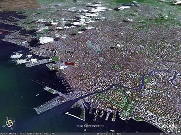
Here's a map/satellite photo of Manila as generated by Google Earth:
If you're into satellite imagery, cartography and geography, or just curious on what the entire Earth looks like generated in 3D, try downloading Google Earth for yourself. The requirements are a bit steep, but if you can run it, I'm sure you'll find it fascinating. :-)

Comments